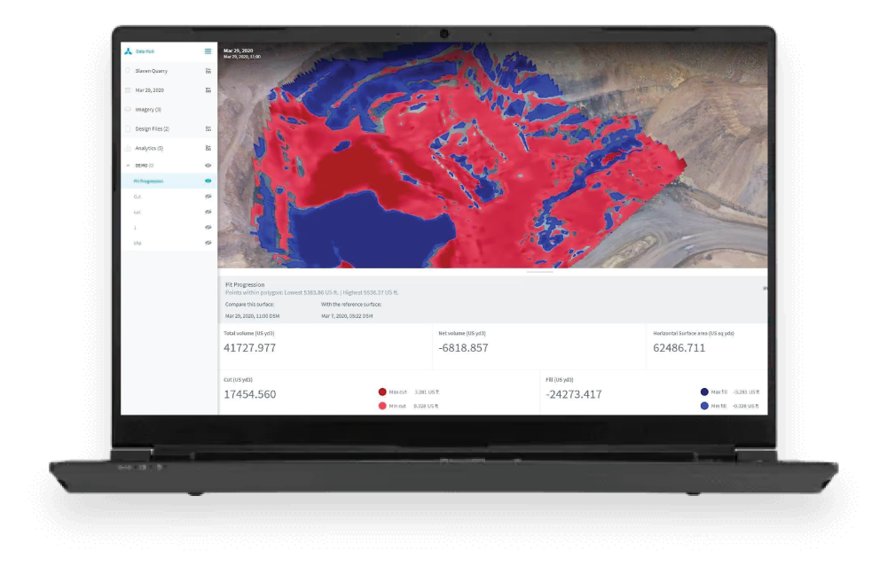
Skycatch provides an “all-in-one” solution for your tailings dam monitoring and mapping needs. It provides aerial data capture automation, data processing, visualization, and analysis tools. Skycatch and RMUS will also assist you with personnel onboarding, training and support so that you can get the most of your data.
Create a digital twin of your tailings storage facility (TSF) and go beyond just measuring with sensors. Skycatch’s high-accuracy drone data (below 3 cm) provides a holistic way to monitor your site.
Tailings dam monitoring is imperative. Regulations require it. But, IoT devices like piezometers and inclinometers are limited to a single point of measurement. Mitigate your risk by adding Skycatch high-accuracy 3D drone-based data, visuals, and analysis to your monitoring. View and measure all in one place with the Data Hub visualization and analytics platform.
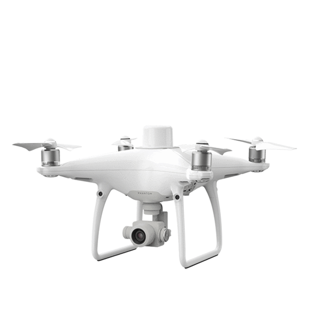
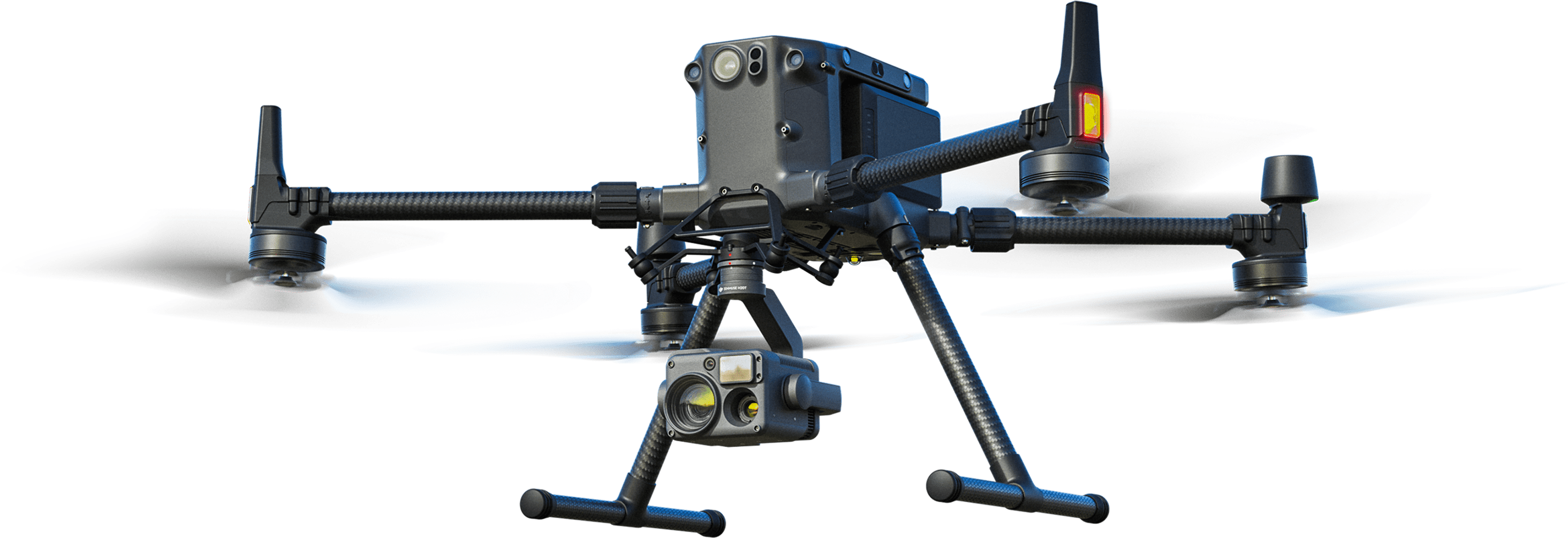
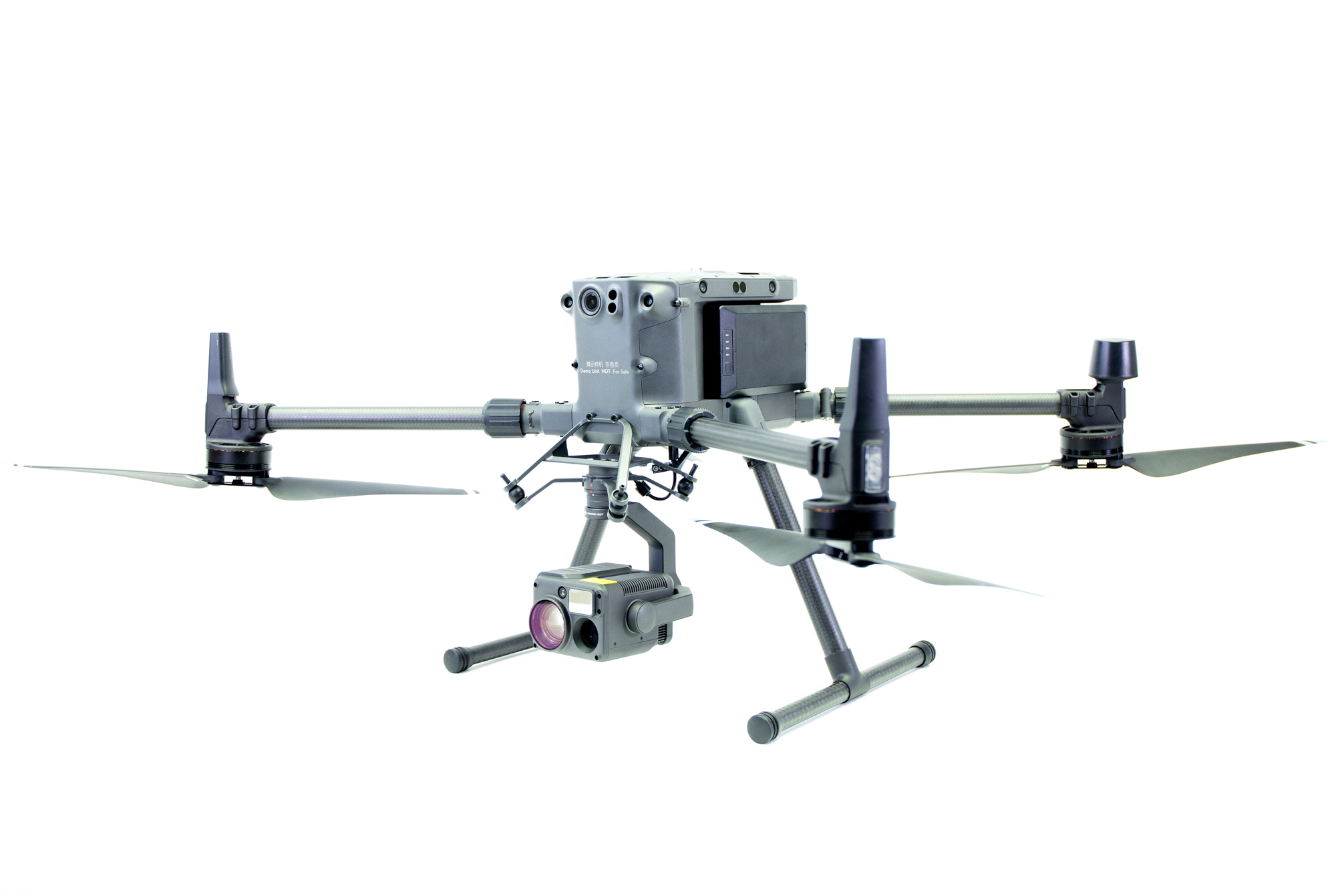
The Tailings Dam Monitoring Solution can be configured with either the DJI Phantom 4 RTK or M300 platform. Please click below to get individual quotes on the setup you prefer.
For pricing, please click the links below or call one of our Sales Associates at 800-793-3548


